CINCINNATI — A line of strong storms moved across Ohio Saturday evening, producing some winds, hail and even what the National Weather Service is calling a "Gustnado" around Cincinnati.
The Gustnado was caught on camera by a boater along the Ohio River Saturday evening near the Sayler Park area on the west side of Cincinnati.
According to the National Weather Service, they are classifying the waterspout as 'Gustnado'.
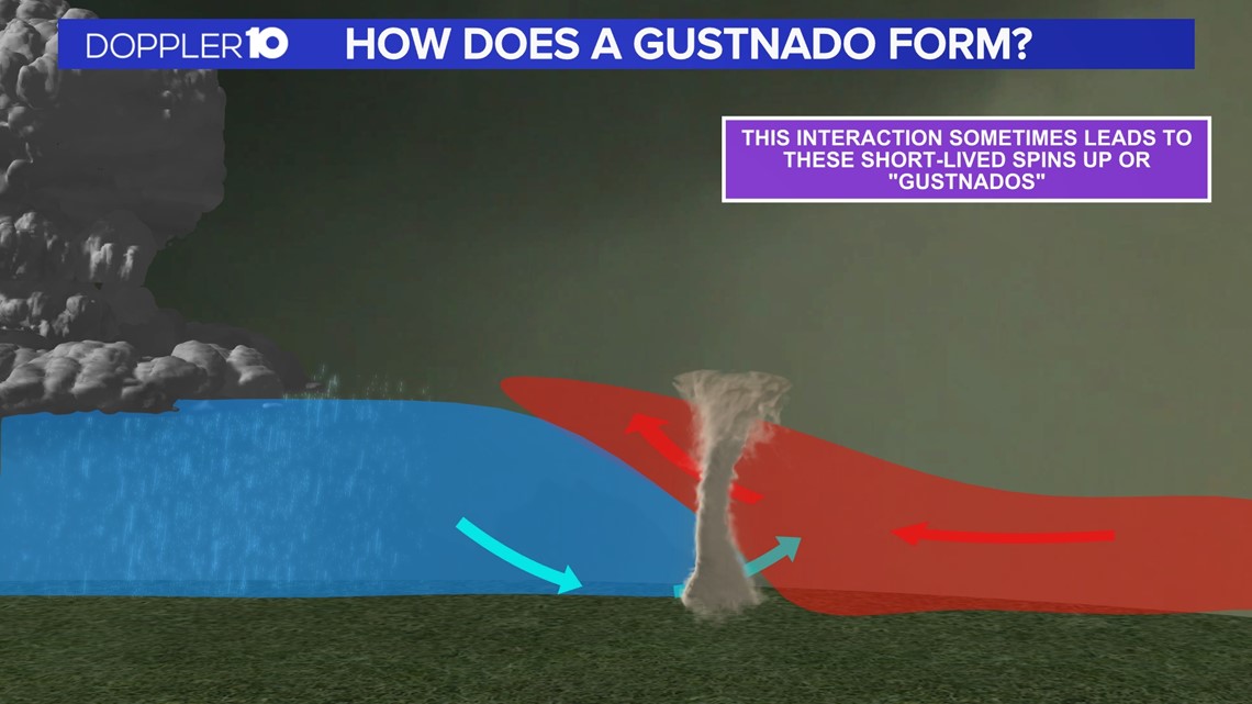
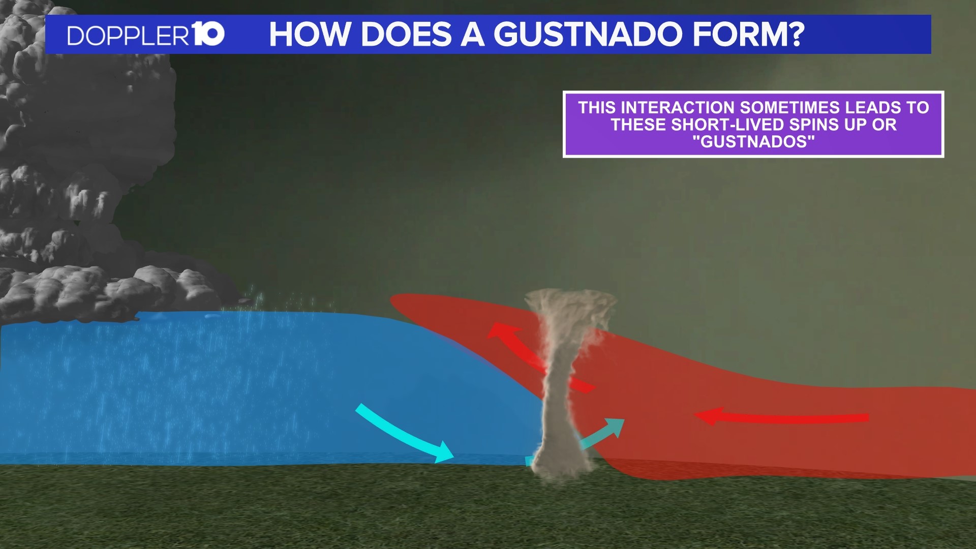
A Gustnado is not a new weather term. The NWS's definition of a Gustnado is a small, whirlwind that forms as an eddy in thunderstorm outflows. They do not connect with any cloud-based rotation and are not tornadoes.
Doppler radar that Saturday evening supported the assessment that a Gustnado formed on a gust front that was several miles ahead of a thunderstorm.


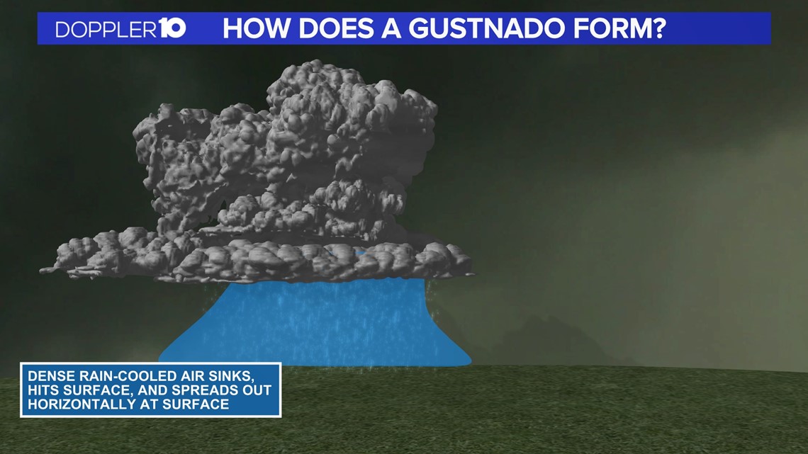
A gust front forms from the downdraft of a thunderstorm. That's when the cold air crashes down from the rain and causes cooler air to spread out and move horizontally at the surface.


The cooler air along the gust front then interacts with the warmer, unstable air in front of it and can cause these short-lived spin-ups or Gustnados.
In rare cases, these Gustnados can cause damage. This particular event cause lead to several downed tree reports, with some trees getting completely uprooted.
Based on the damage reports from the NWS, winds were likely 70 to 80 mph from this Gustnado near Cincinnati.
RELATED: How to protect your pets in the heat

