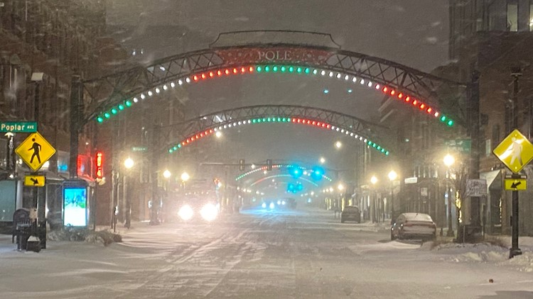
COLUMBUS, Ohio — The winter storm moving toward central Ohio this weekend is expected to be a “bomb cyclone.” But what does that entail?
As the storm will bring heavy winds, low temperatures and rain that will transform into snow, the storm is expected to have rapid intensification in 24 hours, meeting the criteria for a bomb cyclone.
A bomb cyclone can bring dangers such as strong winds, heavy precipitation in the form of rain and snow, and coastal flooding to impacted areas, Greg Carbin, a meteorologist with the National Weather Service, told VERIFY.
RELATED: Strong winds, heavy downpours expected this weekend as 'bomb cyclone' moves through central Ohio
The term can be broken down into two separate words, "bomb" and "cyclone.”
A cyclone is another way to describe low-pressure systems which typically cause inclement weather. All cyclones move in the same general direction in the northern hemisphere, but where they differ is how they interact with the current atmospheric variables.
Bomb is short for bombogenesis; which is a fairly popular term among meteorologists. The term is defined as when a mid-latitude cyclone “rapidly intensifies, dropping at least 24 millibars in over 24 hours.” A millibar measures atmospheric pressure.
As these rapidly strengthening weather systems form, this creates what is known as the "bomb cyclone.”
This is also the same as a Nor'easter — a storm along the east coast of the U.S. It's called this because the winds over the coastal area are usually from the northeast.
The origin of these types of storms usually develops in the latitudes between Georgia and New Jersey, either along or up to 100 miles both east and west of the coast. Typically, these storms are most active between September and April.
The term "bomb cyclone" is just a term that has gone viral to describe this Nor'easter.


