COLUMBUS, Ohio — Since Hurricane Helene went past central Ohio last week the weather has been pretty quiet, and that was the case to start this weekend as well. However, that changed Sunday evening for a few spots in central Ohio
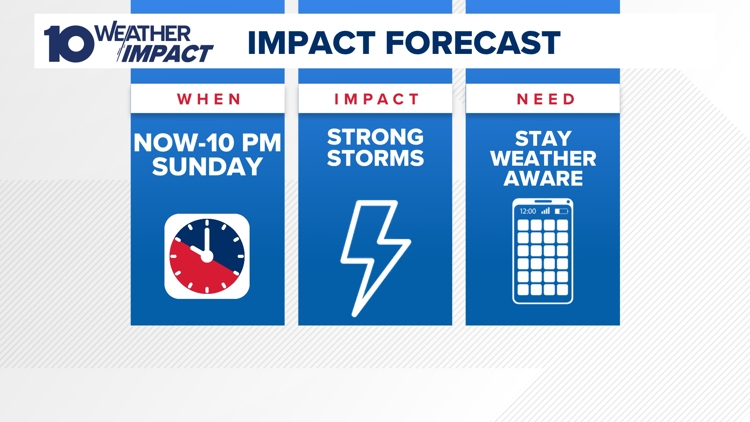
A quick passing warm front spiked humidity and launched air temperatures into the mid-80s Sunday afternoon. That provided a boost of energy into the atmosphere just in time for an afternoon cold front to fire up storms that are moving through to the east of I-71.
The peak time for the storms lasted until 10 p.m.
Our biggest severe weather threat on Sunday was wind and hail.
Make sure you are staying weather aware and with the 10 Weather Impact Team for the latest updates and information as these storms move through this evening!
-- Meteorologist Michael Behrens
Follow me on social media! Facebook Meteorologist Michael Behrens, X/Twitter @MikeBehrensWX, and Instagram/Threads @MikeBehrensWX.
Email me at: MBehrens@10tv.com