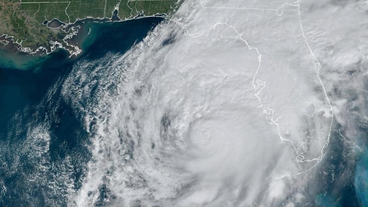
TAMPA, Fla. — Hurricane Milton is churning toward Florida’s west coast. The Tampa Bay area, home to more than 3.3 million people, is facing the possibility of widespread destruction after avoiding direct hits from major hurricanes for more than a century.
Here’s what to know about the storm:
What time is Hurricane Milton hitting Florida?
Hurricane Milton is expected to make landfall on Florida's Gulf Coast late Wednesday, between 8 p.m. - midnight.
“We are bracing and prepared to receive a major hit,” Gov. Ron DeSantis said at a Wednesday briefing.
As of Wednesday morning, the storm was about 150 miles southwest of Tampa with sustained winds of 130 mph.
The storm is expected to retain hurricane strength as it crosses central Florida on Thursday toward the Atlantic Ocean.
Tracking Milton: Live interactive radar
Hurricane Milton damage and storm surge
Florida's Gulf Coast is especially vulnerable to storm surge.
Helene came ashore about 180 miles (290 kilometers) north of Tampa and still caused drowning deaths in the Tampa area due to surges that were about 5 to 8 feet (1.5 to 2.5 meters) above normal tide levels.
With Milton, forecasters warn of a possible 8- to 12-foot (2- to 3.5-meter) storm surge in Tampa Bay, and just south of there, from Anna Maria Island to Boca Grande, a surge of up to 13 feet (4 meters).
In St. Petersburg, located on Tampa Bay, officials said residents should prepare for extended power outages and the possible shutdown of its sewage system. Mayor Ken Welch said it wasn't a storm that the area would recover from quickly: “We have a long road ahead of us.”
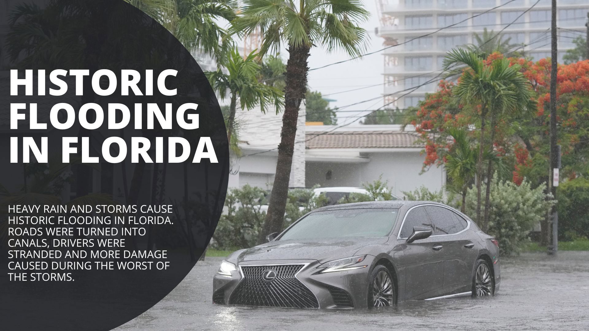
Milton is forecast to cross central Florida and dump as much as 18 inches (46 centimeters) of rain while heading toward the Atlantic Ocean, according to the hurricane center.
Why are scientists saying this is a weird storm season?
Milton is just the latest system in a storm season scientists say is the weirdest they’ve ever seen.
Forecasters predicted a busy Atlantic hurricane season, and it began when Beryl became the earliest storm on record to reach Category 5 status. But from Aug. 20 — the traditional start of peak hurricane season — to Sept. 23 it was record quiet, said Colorado State University hurricane researcher Phil Klotzbach.
Then, five hurricanes popped up between Sept. 26 and Oct. 6 — more than double the old record of two. On Sunday and Monday, there were three hurricanes in October at the same time, which had never happened before, Klotzbach said. In just 46 1/2 hours, Hurricane Milton went from forming as a tropical storm with 40 mph winds to a top-of-the-charts Category 5 hurricane.
With hurricanes disrupting the lives of millions in the U.S., some might wonder if it's possible to control extreme weather events. But scientists say hurricanes are too powerful for that, and climate change is providing more fuel than ever for storms like Helene and Milton.
Weather Impact in Ohio
There is no central Ohio impact with this storm. Once Milton hits the Tampa area, it will go straight over the Orlando area and exit Florida by Thursday evening.
Gov. Mike DeWine activated the Ohio National Guard to support the state of Florida in anticipation of the hurricane. The team will consist of more than three dozen members of the Ohio National Guard.


