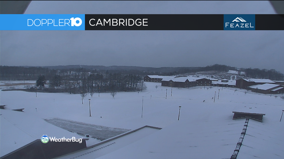
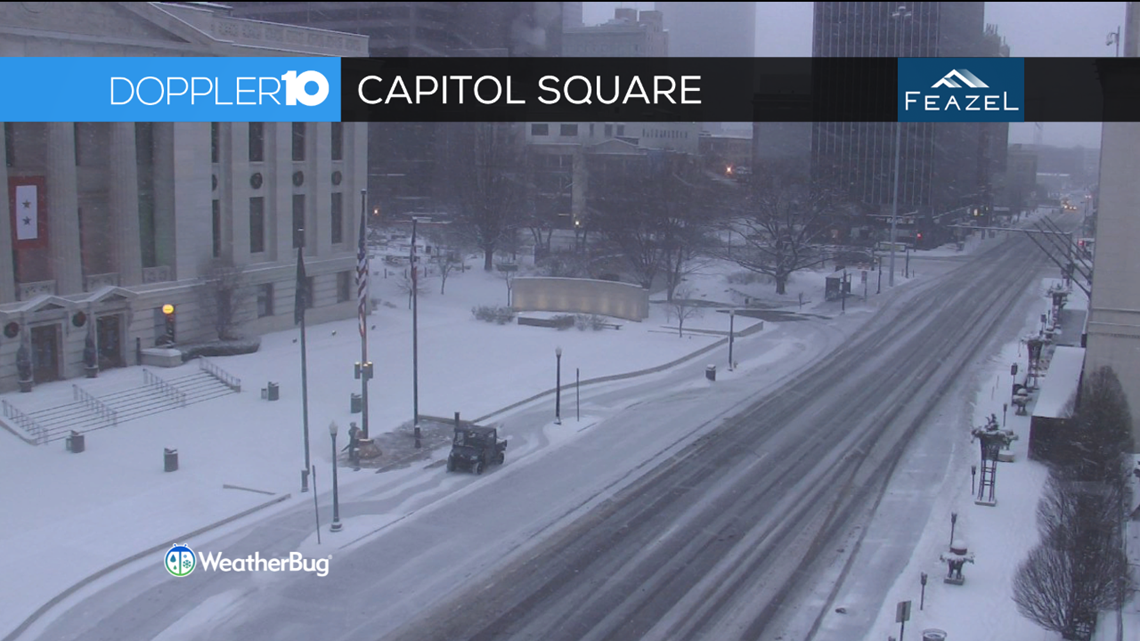
Overnight, a fast-moving system brought a widespread swath of snow showers across central Ohio. Waking up this morning, most of us saw dry, powdery snow on the ground.
The good news is that the bulk of the snow has moved through, so we are left with a fresh blanket of snow and some scattered flurries for the rest of the day.
Weather Resources: Interactive Radar | Weather Warnings & Snow Emergencies | Live Radar
Tracking Snow plows: Columbus Warrior Watch
Now let’s take a look at the hard numbers, measurements received by the National Weather Service for parts of the area:

Athens Co: 1.0”
Coshocton Co: 2.8”
Perry Co: 2.0”
Franklin Co: 3.5”
Delaware Co: 3.4”
Union Co: 2.5”
Fayette Co: 1.5”
Ross Co: 2.0”
Pickaway Co: 3.3”
Clark Co: 3.5”
Pike Co: 0.5
Guernsey Co: 1.5”
Licking Co: 3.0”
Marion Co: 2.0”
Muskingum Co: 1.0”
Hocking Co: 3.0”
Richland Co: 2.0”
Knox Co: 2.8”


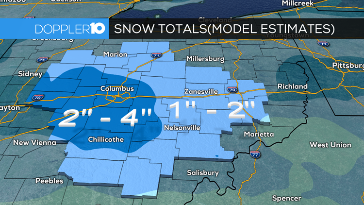
Most locations across central Ohio received anywhere from 1 to 3 inches of snow which was exactly what we were thinking we would get out of this event.
Now here’s a look at the model estimated snowfall we received through this morning. Generally, the larger amounts were along I-70 in western and central Ohio.


Even though it’s been several hours since the snow has departed, many areas are still under snow emergencies.
Areas under a Level 1 Snow Emergency:
Athens, Guernsey, Muskingum, and Vinton counties.