
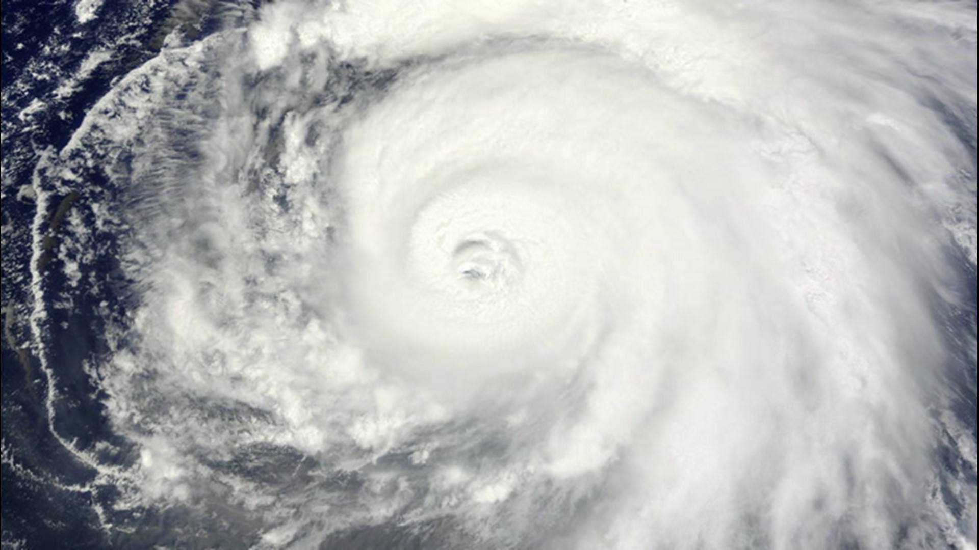
The first tropical system in a week formed in the East Pacific Ocean early Monday, and more development could be in the cards for the basin later this week.
AccuWeather meteorologists began tracking a tropical wave that came off the coast of Central America during the middle of last week before it became Tropical Depression 7-E in the East Pacific Ocean.
The depression, located in the middle of the ocean and well away from land, is expected to move northwestward through Monday before drifting back southwest on Tuesday and Wednesday. Each day the depression will move into cooler waters.

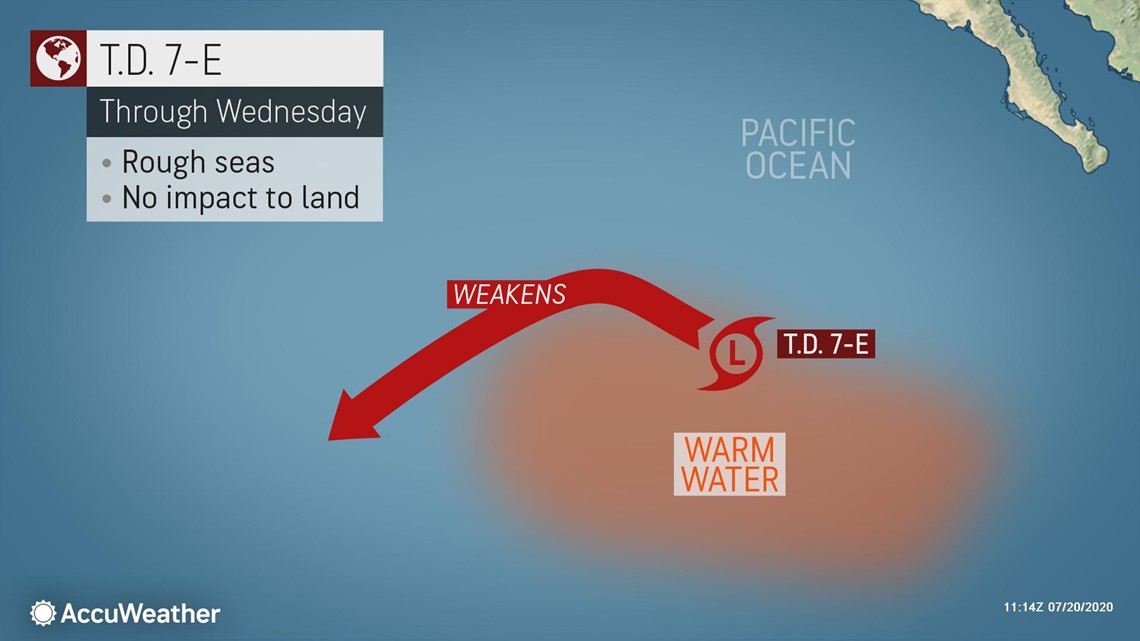
With warm water being one of the prime ingredients needed for tropical systems to form, moving into cooler water will likely be the reason for the demise of Tropical Depression 7-E in just a couple of days.
"There is a brief window on Monday where Tropical Depression 7-E could become a tropical storm, but it is more likely that it remains a depression before losing wind strength Monday night," said AccuWeather Senior Meteorologist Rob Miller.
No matter the strength of the tropical system, no impacts to land are expected. However, shipping interests in the area should be cautious of the rougher seas that the depression will create.
It is likely that 7-E is only the beginning of tropical development for the East Pacific basin this week.
Tropical wave after tropical wave has pushed from Central America through the Eastern Pacific Ocean basin over the last week. However, in all but one case there has been too much wind shear for any of these waves to become better organized.
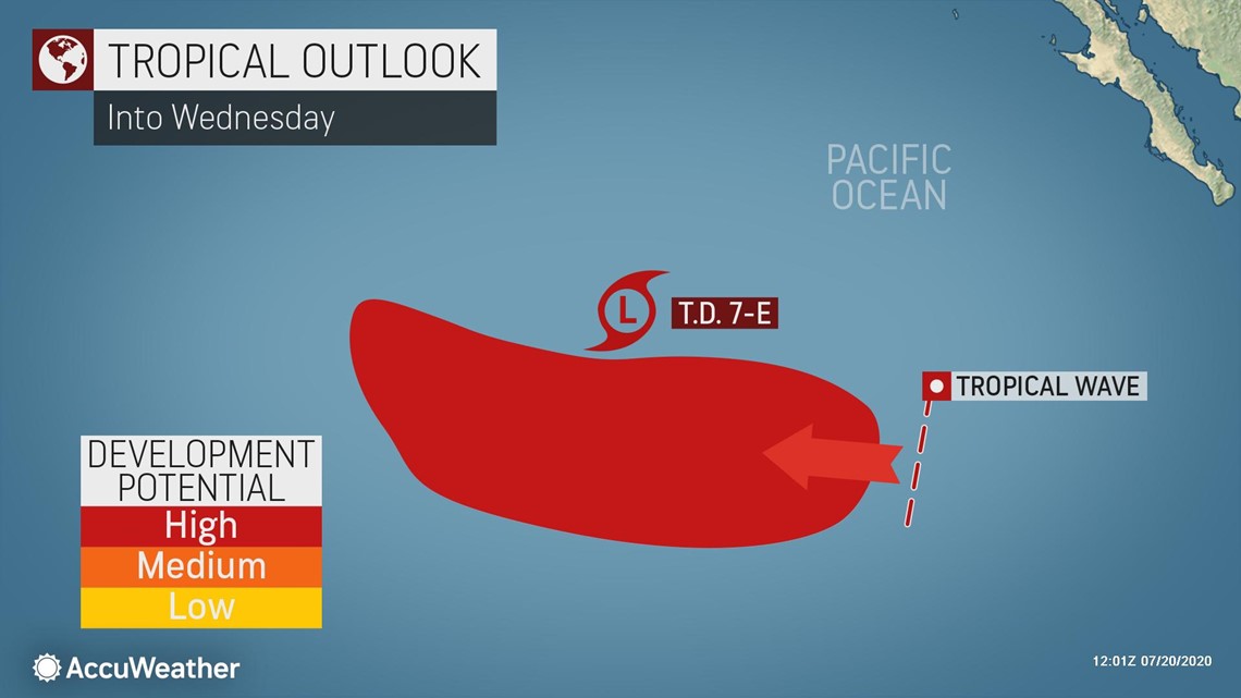
The only zone that has been the exception in the basin has been west of 120w longitude, which is where Tropical Depression 7-E formed and where the next tropical depression could form.
A new tropical wave is following closely behind T.D. 7-E, expected to drift just a bit farther south. By not tracking exactly behind the current depression, this tropical wave will move into undisturbed warm waters, giving it a high chance to become better organized.

"A new depression could form any time between now and Wednesday, and this next system has a decent chance of reaching tropical storm strength as well," said Miller.
A tropical system is upgraded to a tropical storm when it contains sustained surface winds of 38 mph (61 km/h) or more in the Atlantic or East Pacific ocean basins, and given a name. The next name on the East Pacific list for the 2020 season is Douglas.
Miller added that should this new depression form early enough in the week, there is a slight chance that it could become a Category 1 hurricane, the first one of the 2020 tropical season.
Tropical Storm Cristina, which traversed the East Pacific earlier in July, nearly became the first hurricane of 2020, but it fell just short of Category 1 hurricane strength.
The Atlantic Ocean basin has also been devoid of any hurricanes so far this season, but is still running ahead of normal with six named storms already this season. AccuWeather meteorologists are monitoring the potential for a new tropical threat in the Gulf of Mexico this week.