
The combination of moisture from the Atlantic, the Caribbean and to some extent a greatly weakened Delta will bring a dose of drenching rain to portions of the northeastern United States at the tail end of the weekend into the first part of the new week.
Most of the weekend will be fine and dandy for outdoor plans over the bulk of the Northeast, but rain will follow by early next week and can even sneak in a bit sooner in part of the region. A cool front will cause showers to sweep across New England and northern New York state for a time on Saturday.

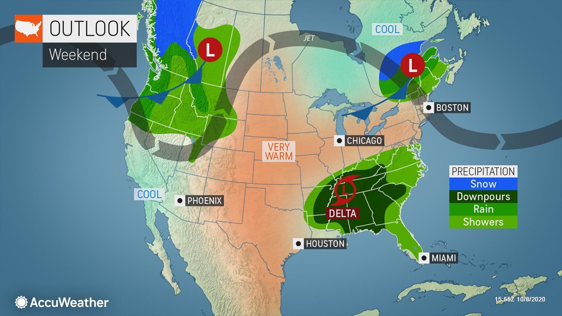
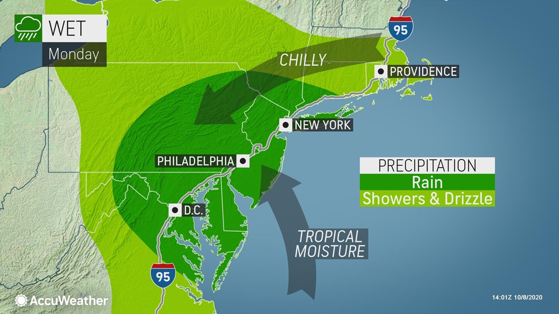
Several weather systems will work together to ignite both beneficial and problematic rainfall across portions of the central Appalachians beginning on Sunday and spreading to the mid-Atlantic during Sunday night and then to New England on Monday.
A general 1-2 inches of rain is forecast from the northern parts of West Virginia and Virginia to central and eastern Pennsylvania, New Jersey and the New York City area. Locally heavier rain can fall in this swath with 2-4 inches of rain forecast for southwestern Virginia and southern West Virginia. Rainfall across upstate New York and much of New England may average 0.50 of an inch to 1 inch.

Much of central and western Pennsylvania to western and northern New York state continue to experience abnormally dry to severe drought conditions, according to the U.S. Drought Monitor. In much of New England, drought conditions range from severe to extreme.
However, for areas farther south, a surplus of rain has fallen since the beginning of summer, and the upcoming rainfall is not needed. The southern Appalachians and mid-Atlantic have picked up 100-150% of average rainfall from June 1 to date.
The bright foliage in some locations can take a hit from the rain and breezy conditions that will accompany the wet weather. The combination of fallen leaves and rain can make some roads and sidewalks slick.
The rain could pour down hard at times in some locations and could be heavy enough to cause urban flooding. This will be a bigger concern where leaves have begun to fall and could potentially block storm drains. Motorists should expect some delays as a result of localized flooding and poor visibility. There is the possibility that a low cloud ceiling could cause some airline delays at the major hubs from Washington, D.C., to Philadelphia and New York City on Monday.
Even though there will be some connection to tropical moisture, an atmospheric river and widespread major flooding like that which occurred during Joaquin over the Southeast states in 2015 should not be repeated.
Even though Joaquin remained hundreds of miles out to sea, a non-tropical storm tapped Joaquin's moisture supply and produced 1-2 feet of rain in the Carolinas.
The setup is significantly different in this case. There will neither be a hurricane sitting off the Atlantic coast nor a plume of deep tropical downpours but rather fragments of leftover tropical moisture.
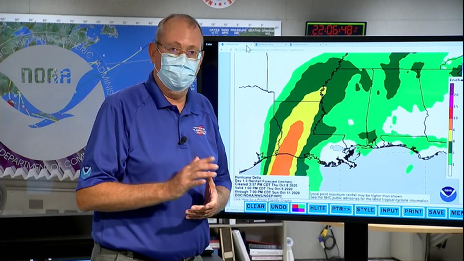
"In the case of Delta, the storm will have already spent two to three days over land, and by the time the feature reaches the Northeast states, its circulation may not be recognizable," according to AccuWeather's top hurricane expert Dan Kottlowski.

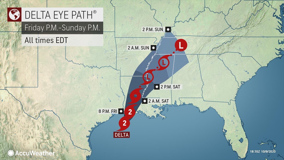
For that reason, AccuWeather will likely stop tracking the center of the feature as a tropical rainstorm beyond this weekend.
"Strong westerly winds, in part due to the jet stream, will tear Delta apart and that will leave the non-tropical features to handle the bulk of the rain in the Northeast," AccuWeather Meteorologist Jake Sojda added.
This time, it appears an area of high pressure that moves across southeastern Canada and the Maritimes will help to funnel moisture in from the North Atlantic, where that moisture can be squeezed out along the mid-Atlantic and New England coasts and uphill over the Appalachians. This setup is fairly typical for a non-tropical storm and happens multiple times during the autumn, winter and spring seasons in the region.
As a cold front sweeps in from the Great Lakes, rain will be whisked along and drying will begin from west to east across the region from later Monday to Tuesday night.