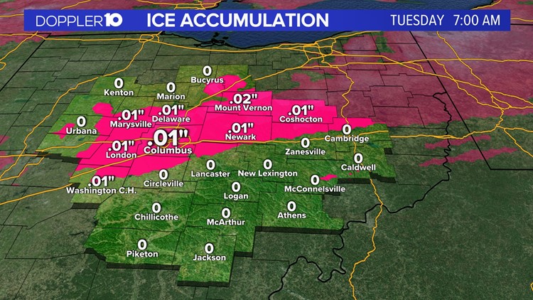
COLUMBUS, Ohio — Central Ohio woke up to freezing rain which posed possible issues for those commuting to work Tuesday morning.
Weather Resources: Interactive Radar | Watches & Warnings | Closings & Delays
Road and ground temperatures usually lag behind the air temperatures by a few degrees. It takes longer for the ground to warm up or cool down than it takes for air to change temperature. Ground temperatures are still sub-freezing thanks to the past week of absolutely bone-chilling cold.
Air temperatures are beginning to climb and by Tuesday morning, they were hovering right around freezing - making freezing rain a concern.

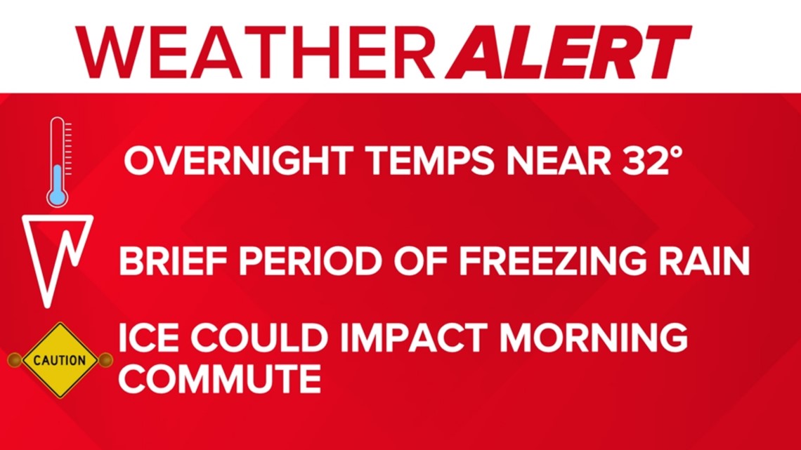
The system arrived around 2 a.m. and some areas saw ice to start. Air temperatures climb back above freezing before 10 a.m. but ground temperatures will still be cold. There was a chance for ice accumulations from freezing rain — raindrops that freeze on contact — and from rainwater collecting and freezing on the ground thanks to road temperatures.
The highest accumulations were expected northwest of I-71 and ranged from a trace to a quarter of an inch.

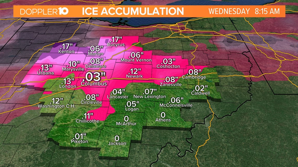
Roads were slightly icy through the morning commute but improved as temperatures climbed back above freezing during the afternoon. Areas to the far northwest were at risk of spotty power outages where ice accumulations are closer to a quarter of an inch.

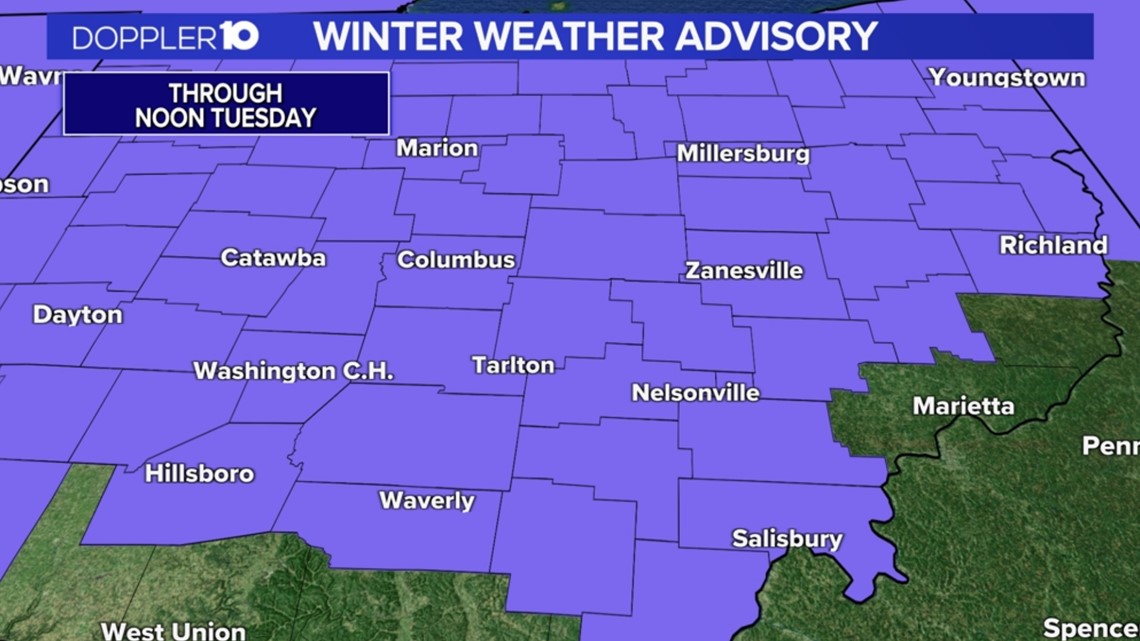
🌦️ Doppler 10 Weather Resources


