OHIO, USA — The National Weather Service confirmed that EF1 tornadoes touched down in Athens, Belmont, Hardin and Marion counties and an EF0 tornado touched down in Holmes County during a storm Saturday.
Saturday's storms prompted several tornado and severe thunderstorm warnings as a strong system moved through areas of central Ohio.
NWS confirmed that the tornado in Hardin County first touched down in Kenton at approximately 12:46 p.m. in the vicinity of West Espy Street and Robinson Avenue. It was a moderate tornado, gaining an estimated maximum wind speed of 90 mph. The maximum path width was estimated to be 200 yards while the path length was roughly 2.2 miles. It lasted for about six minutes.
No injuries were reported as a result of the tornado.
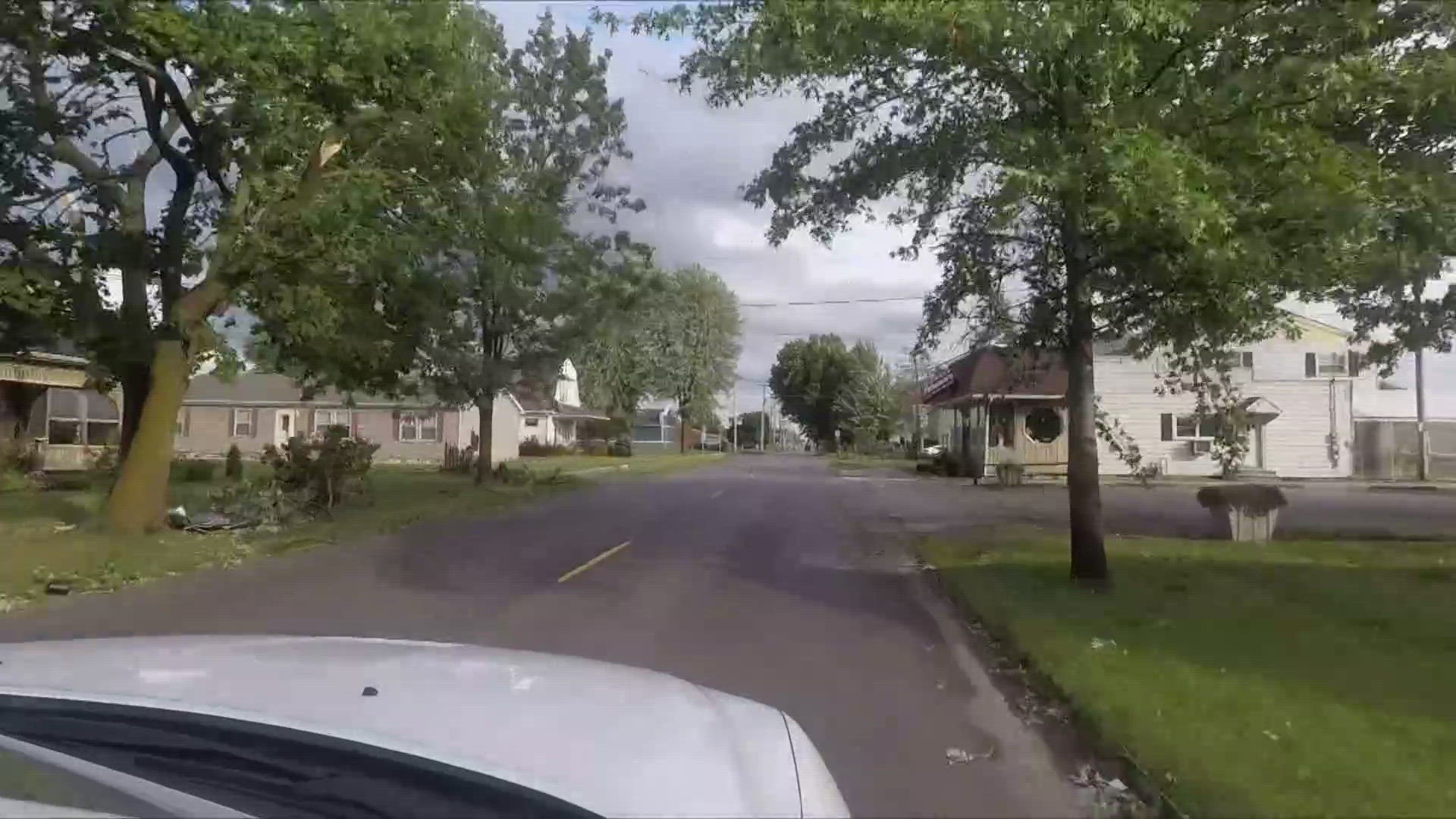
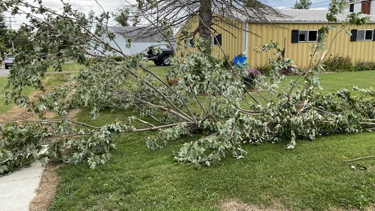
As far as damage in Kenton goes, numerous trees and large limbs were downed. In addition, there was sheet metal and roof damage to buildings in this area. Numerous homes and garages had at least some damage. In the area just north of Letson Street, where the winds were likely strongest, one garage was flattened. Structural debris was found at least a quarter mile away.
According to AEP Ohio, more than 1,300 power outages were reported in Hardin County following the storm, most of which were reported in the Kenton area.
Kenton tornado damage
NWS says the tornado in Marion County first touched down in southeast Marseilles at 1:08 p.m. just south of the intersection of state Route 309 and Dry Lane Road N. The tornado gained an estimated maximum wind speed of 90 mph. The maximum path width was estimated to be 75 yards while the path length was roughly 0.13 miles. It lasted for about one minute.
No injuries were reported.
Part of a roof was torn off a building with some debris thrown into a nearby field. Additionally, a few trees were also damaged on the property.
NWS says that an EF0 tornado in Holmes County first began near Township Road 501, south of state Route 39 at 3:20 p.m. The tornado gained an estimated maximum wind speed of 70 mph. The tornado was on the ground for roughly 1.6 miles and lasted for about one minute.
Then, a tornado was spotted in Belmont County around 5:30 p.m. NWS confirmed it as an EF1 after it gained a maximum wind speed of 100 mph. It first struck down on Hidden Springs Drive where three homes had trees fall on them. Several other trees were uprooted. In it's three-length span, the tornado also destroyed a barn before it lifted at Kagg Hill Road.
It is Belmont Count's fifth tornado since 1950.
Lastly, NWS confirmed that the tornado in Athens County first touched down in southeast Athens around 7:30 p.m. near Angel Road. The tornado gained an estimated maximum wind speed of 100 mph. The maximum path width was estimated to be 300 yards while the path length was roughly 2.33 miles. It lasted for about 10 minutes.
There were no injuries reported.
Damage was limited to snapped and uprooted trees and snapped power poles along the tornado's path. This was the first tornado in Athens County since 2018.


NWS confirmed tornadoes were also spotted in Richland and Ashland counties, though the survey of damage in those counties has not yet been recorded.
The Enhanced Fujita Scale classifies tornadoes into the following categories:
- EF0 - Weak 65 to 85 mph
- EF1 - Weak 86 to 110 mph
- EF2 - Strong 111 to 135 mph
- EF3 - Strong 136 to 165 mph
- EF4 - Violent 166 to 200 mph
- EF5 - Violent >200 mph


